
Our Services
Understanding surveying can be difficult. We get that and have broken down our most popular services here for everyone to gain a better understand of what we do for you!

ALTA/NSPS
An ALTA/NSPS Land Title Survey is a comprehensive property survey developed jointly by the American Land Title Association (ALTA) and the National Society of Professional Surveyors (NSPS). It is typically required during commercial real estate transactions to provide a detailed and standardized depiction of the property's boundaries, easements, encroachments, improvements, and other significant features. The process begins with extensive research into public records, including the title commitment, deeds, easements, and other recorded documents, to identify legal descriptions and potential issues affecting the property. Surveyors then conduct a field survey using precise GPS and total station equipment to measure and document physical site conditions and ensure they align with recorded legal information.
After data collection, the surveyor prepares a detailed map showing all required elements per the ALTA/NSPS standards and any additional items selected from Table A—an optional list of supplemental survey responsibilities, such as zoning classifications, flood zone information, or utility locations. The final survey map is certified to the client, title company, and lender, ensuring that all parties have a reliable, consistent depiction of the property to assess risk, confirm title coverage, and support underwriting decisions. The ALTA/NSPS survey's high level of detail and standardization makes it an essential tool in high-value or legally complex real estate transactions.
Click here to download the Table A Items list

Boundary Survey
A boundary survey is a precise process used to determine the legal property lines of a parcel of land. It begins with research into historical records, including deeds, plats, and previous surveys, to establish the property's legal description and any recorded easements or encumbrances. A licensed surveyor then visits the site to locate and measure existing boundary markers—such as iron pins, monuments, or fences—and reconcile those with the legal documentation using professional judgment and surveying equipment like total stations and GPS. The result is a detailed map showing the property lines, any discovered encroachments, and the positions of relevant physical features. This type of survey is essential for resolving disputes, constructing fences or buildings, and completing real estate transactions.
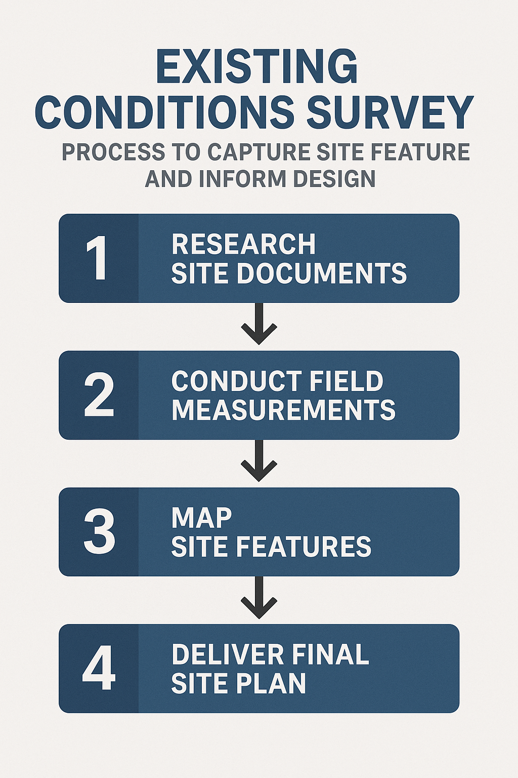
Existing Conditions Survey
An existing conditions survey (also called a topographic or site survey) is conducted to capture the current physical features and infrastructure present on a piece of land. This type of survey is essential for architects, engineers, and planners when designing site improvements, renovations, or new construction. It involves gathering detailed spatial data on elements such as buildings, roads, curbs, trees, utilities, driveways, drainage features, fences, and elevation contours. Surveyors use a combination of field measurements—often with GPS and total stations—and aerial or LiDAR data, depending on the project's needs and scale. The output is a comprehensive site map that accurately reflects the ground conditions and serves as a base for design and engineering work. Existing conditions surveys are critical to ensuring that design decisions are based on real, current site information.

Construction Stakeout & As-built
Construction stakeout surveying, also known as layout surveying, is the process of placing physical markers—such as stakes, flags, or paint—on the ground to represent the exact locations and dimensions of proposed structures based on design plans. These markers guide construction crews in building foundations, roads, utilities, and other elements accurately. By translating digital or paper plans into real-world reference points, stakeout surveying ensures that construction aligns with project specifications and stays within legal boundaries.
As-built surveying is the process of measuring and documenting the exact locations, dimensions, and features of a completed construction project to create a precise record of how it was actually built. Unlike initial design plans, which show how a project is intended to be constructed, as-built surveys reflect any changes, adjustments, or deviations that occurred during construction. This type of survey is essential for verifying compliance with design specifications, facilitating future maintenance or renovations, and providing accurate documentation for property records or regulatory approval.
Contact us
Now that you’re as smart as we are, let’s get together and talk about how we can work with you!